For ease, the map screen allows a photo to be taken directly from Google Maps.
Click on Add Image and then on From Google Maps as shown in the image below:

A screen will open with Google maps. Note: This feature requires an internet connection.

Navigation can be done with the mouse or an address can be typed directly into the Search Address field:

Through the address, the system will consult the map on Google Maps, which allows both the visualization of maps and satellite photos:
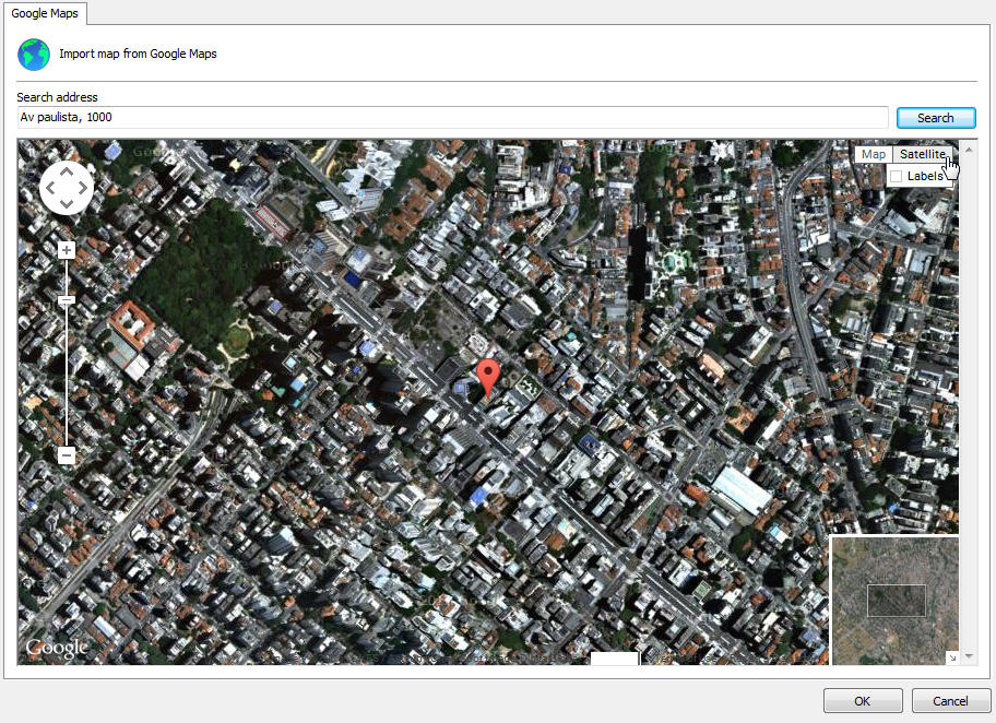
After choosing the desired position, just click OK and the current position will be used as the background image for your map.
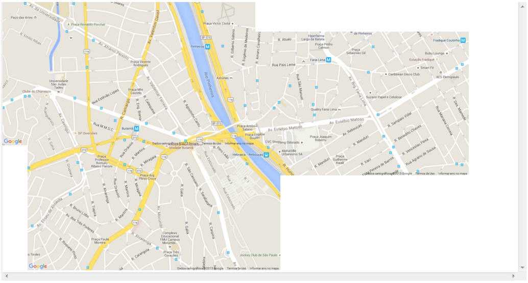
You can place more than one image on the map, just click on Add Image and then on From Google Maps again. With this option it is possible to create larger maps composed of several Google images. The system allows self-adjustment of images based on their location to facilitate their organization and merging.
When right-clicking on an image, the following options will be available:
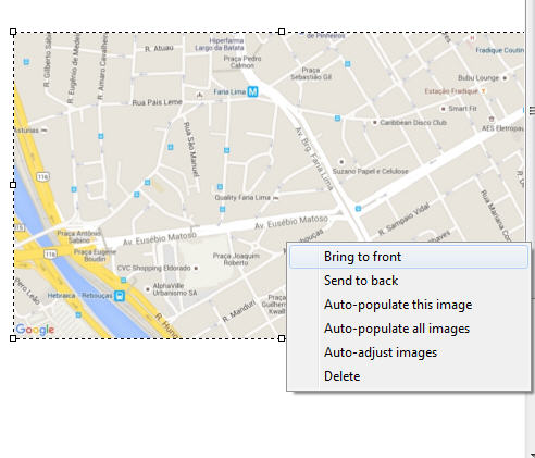
•Bring to Front: Positions the selected image above other images on the map.
•Bring to Back: Positions the selected image below other images on the map.
•Auto-populate this image: From the longitude and latitude configuration registered in the objects, the system will automatically position the objects in the selected image that have the same coordinates. See the chapter How to add a camera to learn how to register the coordinates of the cameras.
•Auto-populate all images: Based on the configuration of longitude and latitude registered in the objects, the system will automatically position the objects in all images on Google Maps that have the same coordinates. see the chapter How to add a camera to learn how to register the coordinates of the cameras.
•Auto-Adjust images: This option allows Digifort to auto-organize Google images based on their coordinates, thus facilitating this work to be done manually in cases where more than one image is needed to create a larger map. See the examples:
Two separate images:

After the auto-adjust command:
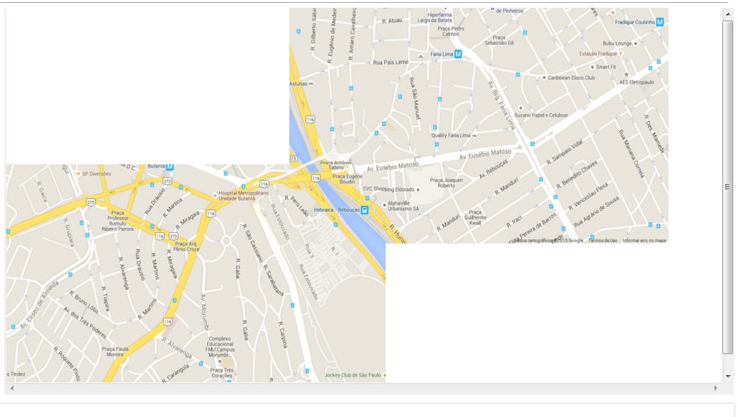
3 separate images:
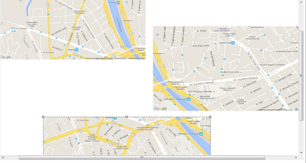
After the auto-adjust command:
|
|---|
Auto-Adjust takes into account the size of the selected image, so the other images will be resized based on the selected image. |