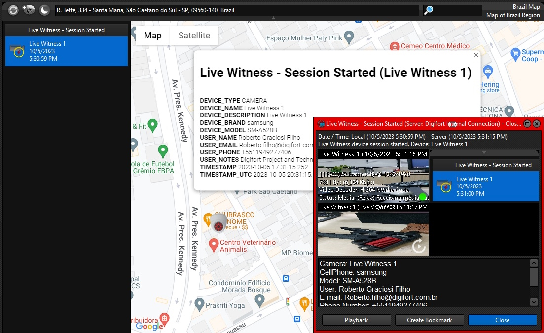
One of the greatest uses of the Operational Map is its ability to display geo-referenced events, providing the position of the event on the map, as well as additional information about the event:
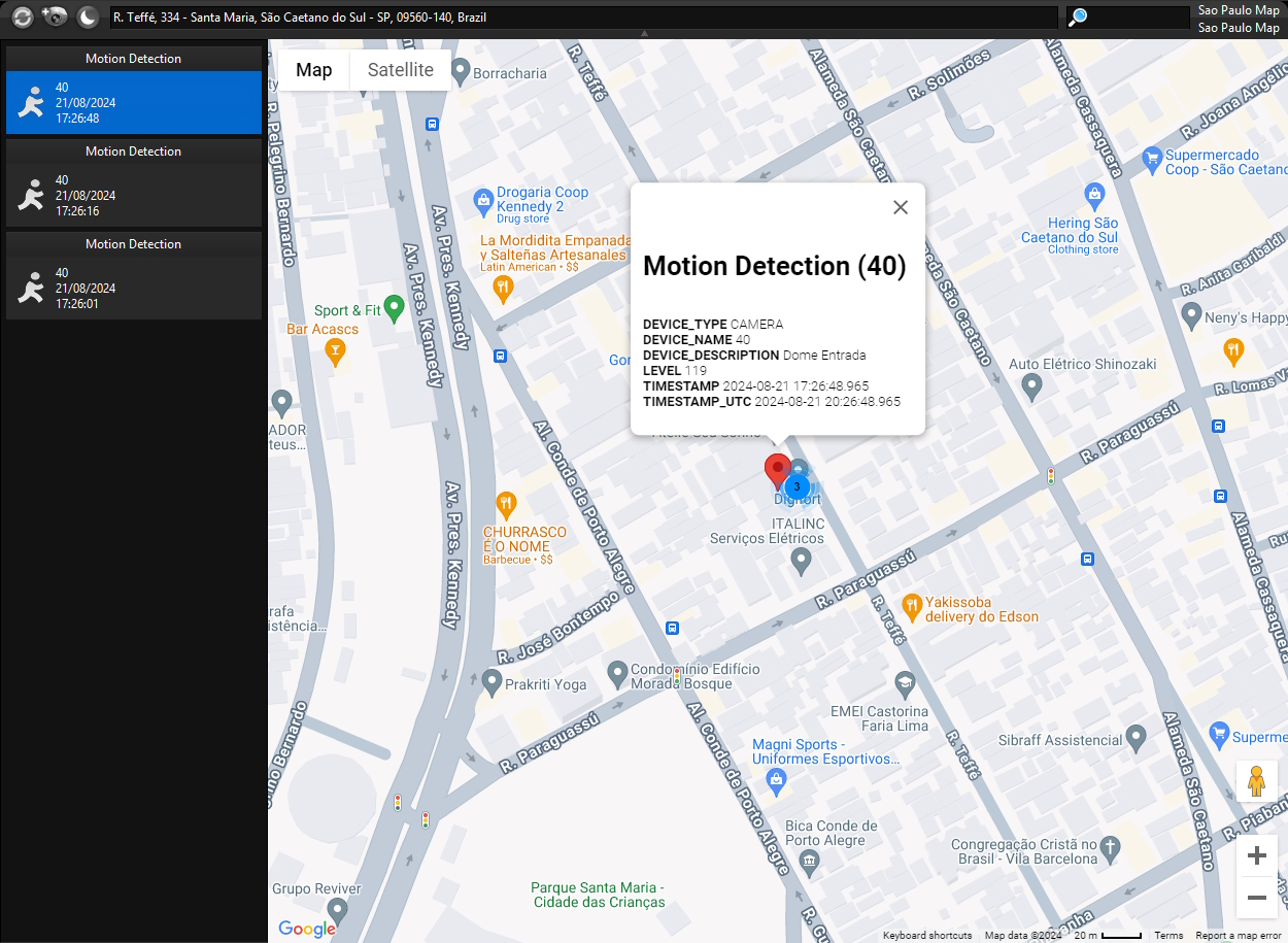
In this example, motion detection events are being received on this map and are displayed in the records column on the left, clicking on one of the records will center the map on the location where the event occurred.
Only events with latitude and longitude will be displayed on the screen.
The list of events allows you to delete a specific event or delete all events by right-clicking on the list of events, displaying the Context Menu and selecting the desired option:
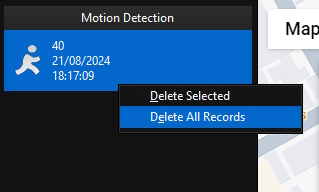
•Delete selected: Deletes the selected event.
•Delete all records: Clears the list of events.
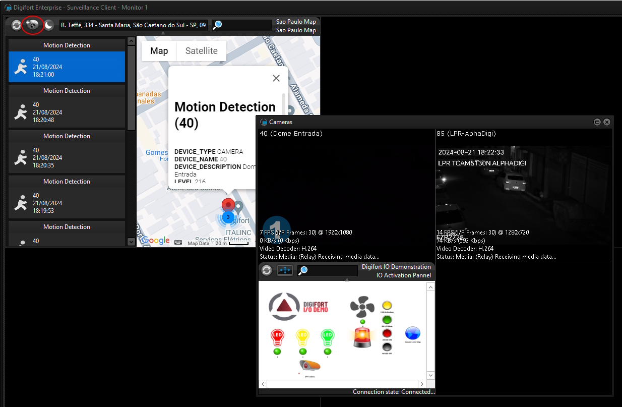
After receiving an event, the operator can simultaneously view all the objects (Cameras and Synoptic Maps) that are being displayed on the current perimeter of the map by simply clicking on the View Objects button on the toolbar, making the operator's handling much more agile and with unprecedented scope:
The event displayed on the map will also have all the event variables listed on screen. These variables contain extra information about the event:
|
|---|
The event list will keep the last 50 events. |